Showing posts with label Kentucky Courses. Show all posts

Saturday, December 20, 2025

South Fork Park Disc Golf Course in Florence, KY

Basic Information

Course Location: South Fork Park
Geographic Location: Florence, KY (38.97575, -84.67825)
Date Visited: October 2025
Number of Holes: 9
Course Length: 2682 feet, par 29
Cost to Play: free
Difficulty Level: recreational, medium
Carts: usable, but the man-made mounds on holes #5 and #6 are quite steep
Beginner Friendly? more yes than no
Potential to Lose Discs: medium due to stream and dense woods
Course Walkabout Video:


Driving Directions: In northern Kentucky, take I-71/75 to US 42 (exit 180).  Drive US 42 south 2.1 miles to Farmview Drive and turn right on Farmview Dr.  Take Farmview Dr. northwest 0.6 miles to the signed park entrance on the right.  Turn right to enter the park, and park near the beginning of the large perpendicular parking lot.  #1 tee is a few hundred feet downhill and to the east; follow the paved hike/bike trail downhill and around the sharp right turn.

Course Constructions:

Tees: concrete, 1 per hole
Baskets: Mach V, 1 per hole
Signage: course map near #1 tee; hole sign on each tee
Amenities: restrooms, playground, basketball court, sand volleyball court, paved bike trail

Summary Review: 2.5 Stars (out of 5)

The disc golf course at South Fork Park occupies an open to lightly wooded area in the rear of a nice city park.  The course has more length than you would expect for a 9 hole city park course, plus it has 2 forced water carries over a stream.  The terrain is completely flat except for 3 large and steep man-made mounds, which are used on holes #5 and #6.  The 2 mound holes are my favorite holes on this course.  The course constructions are excellent, and the course flow is easy to follow.  The course maintenance was perfect except for one disturbing thing: some of the baskets bore nasty graffiti on my visit.  Some of the graffiti was anti-disc golf; some was just plain evil and hateful.  The graffiti made me feel uneasy and unwelcome here, which is unusual for me.  The park is popular, and I saw several walkers wandering around the course.  Overall, I like this course, but I would hesitate to come back here due to the graffiti.  If people like that come here and nobody bothers to remove what they illegally write and draw, I don't feel safe here.

Hole-by-Hole Review 

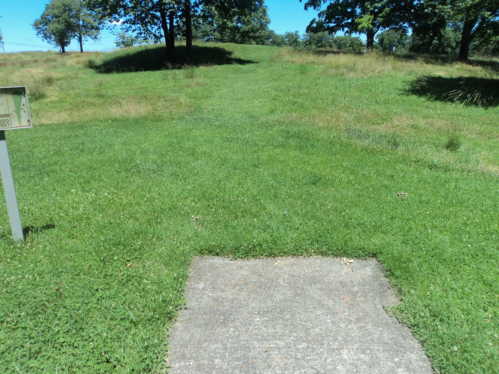
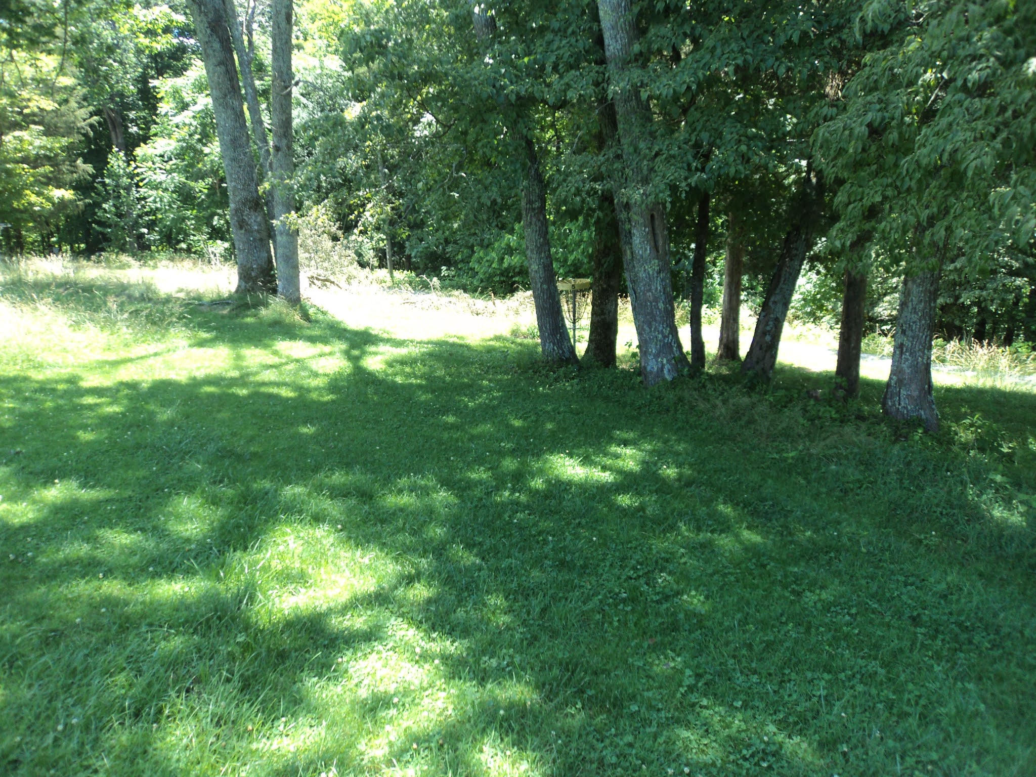
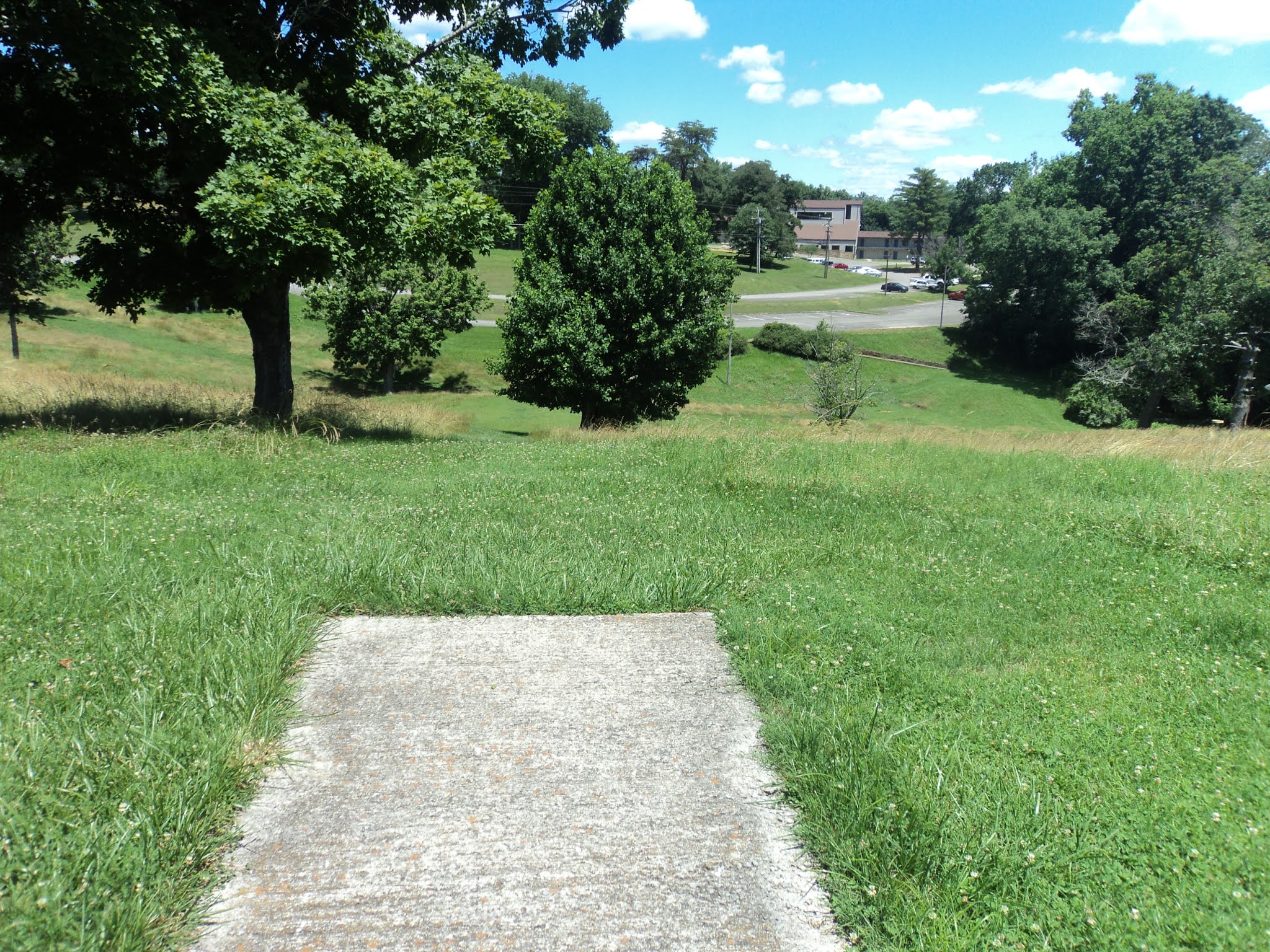
Distances taken from hole signs.  Picture sequence for each hole is 1) tee, 2) approach, 3) basket to tee.

Hole #1: 331 feet, par 3
Comments: a completely flat, completely open, completely boring hole.  Mind walkers on the paved hike/bike trail on the right.  #2 tee is behind the basket and across the paved walking trail.

Hole #2: 284 feet, par 3
Comments: the first of 2 forced water carries.  It is just under 200 feet to clear the water, so a good throw from a good player will stay dry.  The fairway is plenty wide, and there are no other obstacles directly between the tee and the basket.  There is dense woods just beyond the basket, so don't miss long.  #3 tee is to the right near the edge of the grassy area.

Hole #3: 404 feet, par 4
Comments: The longest hole on this course is a dogleg left.  The fairway is fairly wide, but dense woods lie on either side of the fairway.  The basket is located only a few feet from the woods on the right, so a straight throw that just misses the trees on the left will be directly on line with the basket.  The basket location also guarantees that you don't want to miss right.  Maybe this hole is too short and open to be a par 4.  #4 tee is to the left.

Hole #4: 339 feet, par 3
Comments: gradually uphill and nearly straight with the same dense woods tight on the right.  #5 tee is at the top of the mound to the left and across the paved walking trail.

Hole #5: 255 feet, par 3
Comments: now we get to the 2 mounds holes.  The tee on this hole is on the south mound with the basket on the middle mound; of course the swale between the 2 mounds lies in between.  The distance plays less than the measured distance due to the swale, but a miss could bounce/roll all the way to the bottom of the middle mound.  This hole is a fun challenge.  #6 tee is to the right at the base of the mound.

Hole #6: 198 feet, par 3
Comments: This hole plays from the side/base of the middle mound to the top of the north mound.  Trees in the valley between the mounds pinch the fairway, but the main defense remains the slope of the mound.  This course might rank a full star lower without these 2 holes.  #7 tee is to the left at the base of the mound.

Hole #7: 295 feet, par 3
Comments: the tightest hole on this course, but the fairway is still wide by normal standards.  Overhanging limbs create a somewhat low ceiling, and a slight dogleg left obscures the basket from the tee.  Aim at the sewer cap you see in the distance and work your disc slightly left.  #8 tee is behind the basket and to the left.

Hole #8: 175 feet, par 3
Comments: the other forced water carry, but now 2 large trees guard the front of the basket, one on each side.  There is room to get a disc between those trees, but it's tight.  This is a very nice short hole.  #9 tee is to the right.

Hole #9: 401 feet, par 4
Comments: The dense woods is tight on the right, but there is plenty of room to the left.  Don't miss right!  The parking lot is to the left and uphill; follow the paved walking path.

Saturday, July 31, 2021

Lake Cumberland State Resort Park near Jamestown, KY

Basic Information

Course Location: Lake Cumberland State Resort Park
Geographic Location: south of Jamestown, KY (36.92760, -85.04344)
Date Visited: June 2021
Number of Holes: 18
Course Length: 4750 feet, par 54
Cost to Play: free
Difficulty Level: recreational, medium
Carts: fine for most of the course, but the 3 heavily wooded holes are somewhat steep and heavily encumbered with undergrowth and downed trees
Beginner Friendly? somewhat, expect some steep hills and a couple of long holes
Potential to Lose Discs: low except on the 3 heavily wooded holes

Driving Directions: From Jamestown, take US 127 south 7 miles to the signed entrance road for Lake Cumberland State Resort Park on the left.  Turn left on the park road, and drive the main park road 5.2 miles to its end at Lure Lodge.  Park in the large parking lot in front of Lure Lodge and the park's Activity Center; #1 tee is to the right (south) of the Activity Center's lower level just past the trailhead for the Lake Bluff Nature Trail.

Course Constructions:

Tees: concrete, 1 per hole
Baskets: Innova Discatcher, 1 per hole.  The #10 basket was broken on my visit, but the others were fine.
Signage: hole sign at each tee; the hole diagrams on the sign are not particularly helpful
Amenities: practice basket, picnic tables near #8 and #17 tees, restrooms and drinking water in nearby Lure Lodge

Summary Review: 3.5 Stars (out of 5)

The disc golf course at Lake Cumberland State Resort Park has the odd distinction of being laid out mostly over an old ball golf course.  More specifically, 15 holes are routed through a sunny, grassy area dotted with trees that used to be a par 3 ball golf course, while holes #11 through #13 are routed through a densely wooded area.  The course is routed as two separate 9-hole loops, and I had no trouble finding the next tee despite the lack of a course map.  16 of the 18 holes are between 200 and 300 feet long, and while the rolling terrain keeps the round interesting, I would have liked more variation in hole length.  In addition, the designer could have done a better job of using the sparsely dotted trees as obstacles on some holes.  Course maintenance was an issue in spots: the #10 basket was broken, and the fairways on the heavily wooded holes were unfindable due to undergrowth and downed trees.  In the shape they were in on my visit, this course would be better without the 3 heavily wooded holes.  Finally, be careful walking through the tall grass that serves as rough: there are some holes in the ground and other objects hidden under the tall grass that could easily trip you or turn your ankle.  Overall, this course has a few warts, but most players will find more to like than to dislike here.

Hole-by-Hole Review 

Distances taken from hole signs.  Picture sequence for each hole is 1) tee, 2) approach, 3) basket to tee.

Hole #1: 235 feet, par 3
Comments: likely starting on an old ball golf tee, this hole is a slight dogleg left that plays gradually uphill over a corner of the hiking trail's natural area to the left.  Trees dotting the grassy area around the hole demand an accurate approach throw.  #2 tee is just inside the woods to the left.

Hole #2: 260 feet, par 3
Comments: playing moderately uphill, you need to avoid the deep woods tight on the left, but there is ample room to the right.  Unlike the first hole, the basket has no trees around it.  #3 tee is behind the basket near the edge of the woods.

Hole #3: 275 feet, par 3
Comments: similar to #2, this is another moderately uphill hole, but the wooded area is not as tight on the left.  The basket is completely unguarded.  #4 tee is behind the basket.

Hole #4: 220 feet, par 3
Comments: the uphill journey continues, but now the course route curves away from the deep woods and into the heart of the sunny old ball golf area.  A couple of large trees stand on either side of the fairway, but the line from tee to basket is straight and clear.  A more clever hole route could have made better use of these isolated trees here.  #5 tee is behind the basket and to the left.

Hole #5: 275 feet, par 3
Comments: the first downhill hole, this is also one of my favorite holes on this course.  The basket is hidden behind a cluster of trees, which makes a direct route dangerous.  The most obvious line goes to the left around the cluster of trees, but a couple of other trees await an errant throw too far left.  Strategy and execution are both paramount here.  #6 tee is to the right and back toward the tee.

Hole #6: 285 feet, par 3
Comments: flat to slightly uphill, this hole plays parallel to a gravel maintenance road on the left.  Some of my sources say the gravel road is OB, but the tee sign does not.  The fairway is fairly narrow with deep grass rough on the right and trees overhanging on the left.  This is one of the harder holes on this course.  #7 tee is about 100 feet behind the basket.

Hole #7: 285 feet, par 3
Comments: now at the course's southwest corner, this hole plays slightly uphill to the highest point on the course.  A single large tree stands just in front of the basket, so you have to pick your route around it thoughtfully.  #8 tee is behind the basket and to the left near the picnic tables.

Hole #8: 255 feet, par 3
Comments: a somewhat downhill hole, the basket is perched on the edge of a sharp dropoff that appears to be an old ball golf tee.  There are no obstacles between the tee and basket, but the dropoff and some nearby tall grass make putting interesting.  #9 tee is behind the basket and to the right.

Hole #9: 370 feet, par 3
Comments: steeply and relentlessly downhill, this hole does not play nearly as long as its measured distance.  Some individual trees dot the rough on either side of the fairway (including a nice weeping willow tree), but there are no obstacles between the tee and basket.  The parking lot is just beyond the basket if you want to play only 9 holes.  #10 tee is a couple hundred feet to the left and behind the basket.

Hole #10: 220 feet, par 3
Comments: almost the inverse of #9, this is the steepest uphill hole on this course.  A single large tree stands in the fairway between the tee and basket.  The tee just beyond the basket to the left is #14 tee.  To get to #11 tee, walk directly behind the basket, cross the park road, and angle right, staying along the edge of the woods.

Hole #11: 200 feet, par 3
Comments: the next 3 holes are heavily wooded, and they are also slightly steep and rather unkempt.  Thus, if you are playing with a cart, it might be best to leave the cart at #14 tee and just carry a couple of discs over to these 3 holes.  Alternatively, you could just skip the next 3 holes: they are my least favorite holes on this course.  #11 is slightly downhill but more sidehill than downhill.  The fairway desperately needs to be cleared of brush and downed trees: there is no obvious fairway on this hole.  #12 tee is to the left and back toward the tee.

Hole #12: 225 feet, par 3
Comments: this hole is the inverse of #11: densely wooded and slightly uphill but more sidehill than uphill.  Again, there is no obvious fairway on this hole.  #13 tee is downhill and to the right, back toward the tee.

Hole #13: 200 feet, par 3
Comments: another hole very similar to the two previous holes, but the area around the basket is more free of brush.  #14 tee is back across the road to the left near the #10 basket.

Hole #14: 300 feet, par 3
Comments: what a pleasure to be back on the wide open, well-maintained old ball golf course again!   This hole plays over a swale parallel to the main park road on the right, which should be OB although the tee sign does not designate it as such.  A strategically-placed tree stands right in the middle of the fairway, and the basket is on a steep upslope to make putting more challenging.  #15 tee is 100+ feet behind the basket.

Hole #15: 390 feet, par 3
Comments: the longest hole on this course, though somewhat downhill, plays down a narrow mowed-grass fairway bordered on both sides by tall grass.  The line of play is narrowed even more by a couple of strategically placed trees, so only accurate throws will be safe here.  This is probably the hardest hole on this course.  #16 tee is slightly uphill to the right.

Hole #16: 225 feet, par 3
Comments: this hole plays back up the same hill you just played down.  A row of trees to the left combined with another very narrow fairway make accuracy paramount.  #17 tee is to the left by the picnic tables.

Hole #17: 255 feet, par 3
Comments: a slightly downhill hole with a pair of trees guarding the basket, this hole is similar to #7.  #18 tee is to the left and back toward the tee.

Hole #18: 275 feet, par 3
Comments: a steeply downhill finishing hole, the view of Lure Lodge (and Lake Cumberland in the leafless months) from the tee is the most scenic view on the course.  A single tree stands between the tee and basket.  This finishing hole suits this course well.