Basic Information
Course Location: Tombigbee State Park
Geographic Location: east of Tupelo, MS (34.23048, -88.62097)
Date Visited: May 2021
Number of Holes: 18 (with a second 18 hole course on site)
Course Length: 3824 feet, par 54 (from the front/red tees)
Cost to Play: $2 park entrance fee
Difficulty Level: recreational, high
Carts: usable, but some steep areas will need to be negotiated
Beginner Friendly? no, too heavily wooded
Potential to Lose Discs: low/medium due to dense woods
Park Information: https://www.mdwfp.com/parks-destinations/park/tombigbee-state-park
DG Course Review Page: https://www.dgcoursereview.com/course.php?id=1922
Driving Directions: On the south side of Tupelo, take US 45 to Eason Boulevard. Exit and go east on Eason Blvd. Drive Eason Blvd. east 1.7 miles to SR 6 and turn right on SR 6. Drive SR 6 south 0.7 miles to CR 1050 and turn left on CR 1050. Drive narrow and winding CR 1050 its full distance to State Park Road and turn left on State Park Rd. The signed entrance to the state park is 1.7 miles ahead on the right. Turn right to enter the park, pay the small entrance fee, and park in the large blacktop parking lot in front of the park office. The #1 tee is behind the sand volleyball court at an information board near picnic pavilion #1.
Course Constructions
Tees: most holes have 2 concrete tee pads. The blue tee is the back tee, and the red tee is the forward tee.
Baskets: 1 double-chained basket per hole. They were older but in good condition on my visit.
Signage: sign at every tee; course map near #1 tee.
Amenities: practice basket, restrooms, picnic pavilions, sand volleyball court, playground, scorecards available at park office, fishing in Lake Lee
Summary Review: 4.5 Stars (out of 5)
Tombigbee State Park has 2 18 hole disc golf courses. When I came here, I only had time to walk about 1 of them, and I chose the shorter and easier Course #1 because it is located closer to the park office. The course traverses the steep ridges and hollows above Lake Lee, the park's centerpiece, and topography plays a big role on this course. The first 13 holes are heavily wooded, but the last 5 holes are more open. Although most of the wooded holes are less than 250 feet long, the abundance of large trees will test the player's accuracy. The course route loops back on itself a couple of times, but it makes sense given the terrain the designers had to work with. I never had any trouble finding the next tee. The course was in excellent condition when I played here. A couple of holes play along the park road, and a nature trail winds through holes #5 through #10, so you have to watch for vehicles and hikers/joggers on some holes. Overall, this is an excellent disc golf course, and it is one that most players will enjoy playing.
Hole-by-Hole Review
Distances taken from hole signs at the red tees. Picture sequence for each hole is 1) red tee, 2) approach, 3) basket to tee.
Hole #1: 151 feet, par 3


Comments: the course immediately plunges into the woods, and the steep downhill makes this hole play very short. Nevertheless, an accurate throw is needed to get through the trees. The bottoms of these ravines can be quite muddy, so wear shoes that you are OK with getting muddy. #2 tee is around the ridge behind the basket.
Hole #2: 143 feet, par 3


Comments: this flat ravine-bottom hole plays across a seasonal wet area that continues up the left side of the hole. You'll have to challenge the wetland for a chance at birdie or hope for a good bounce off the hill to the right. Lots of small trees stand between the tee and the basket, so choose your line of play carefully. #3 tee is behind the basket.
Hole #3: 155 feet, par 3


Comments: another tight, heavily wooded hole, this hole plays steeply uphill for its entire distance. If you overshoot but then miss coming back, your disc could roll a long way down the fairway. #4 tee is behind the basket at the top of the ridge.
Hole #4: 195 feet, par 3


Comments: longer than the first 3 holes, this dogleg right hole plays slightly uphill and along the top of the narrow finger ridge. The dense woods ensure that any disc that lands off of the ridge will have a difficult recovery shot. #5 tee is behind the basket at the left edge of the ridge.
Hole #5: 193 feet, par 3


Comments: similar in flavor to hole #1, this hole is longer and the basket is across the creek and right against the east wall of the ravine; the basket on this side of the creek to the right is #10 basket. Thus, this hole is a subtle and clever variation on this course's downhill hole theme. The park's nature trail crosses this hole at the bottom of the ravine in front of the basket, so check for hikers before you throw. #6 tee is to the left and back on the original side of the creek.
Hole #6: 135 feet, par 3


Comments: another ravine-bottom hole similar to #2, but now the creek is to the right and the basket is about 10 feet above the creek on the ravine's left wall. This is another interesting variation on a course theme. The park's nature trail shares the disc golf path on this hole. #7 tee is behind the basket and to the right, across the creek.
Hole #7: 244 feet, par 3


Comments: this hole plays uphill up a narrow side ravine, and thus it is significantly longer than any hole on this course thus far. Combining the length with the tight fairway through large trees makes this hole one of the hardest on the course. #8 tee is in the side ravine to the right.
Hole #8: 132 feet, par 3


Comments: a short but very fun hole that plays up and over the ridge. The basket is located just down the other side of the ridge, so the tee shot is blind. There are no trees right in front of the basket, so a good throw could result in a lucky ace. #9 tee is back on top of the ridge.
Hole #9: 184 feet, par 3


Comments: this nearly straight ridgetop hole has dense woods on either side. The basket is set in a small flat dent in the side of the ridge. #10 tee is uphill to the right.
Hole #10: 300 feet, par 3


Comments: the first hole measuring 300+ feet, this hole heads steeply downhill. Thus, hole #7 actually plays longer than this hole. The basket is located across the creek and partway up the west side of the ravine; the basket on this side of the creek is #5 basket. The park's nature trail passes near the basket, so check for hikers before you throw. This is the last time you will see the nature trail. #11 tee is to the left, up the wooden steps, and across the park road.
Hole #11: 194 feet, par 3


Comments: the next 4 holes form a loop with #15 tee and #11 tee only about 20 feet apart, so if for some reason you only wanted to play 14 holes instead of 18 holes (maybe because darkness was approaching?), you could skip the next 4 holes. #11 is another downhill, densely wooded hole that doglegs slightly right. The basket occupies a narrow peninsula of high land in a small bend in the small (and dry, on my visit) creek. #12 tee is to the left and up a side ravine.
Hole #12: 193 feet, par 3


Comments: this very tight hole plays up a side ravine for its entire distance. An accurate tee shot is needed to have a chance at birdie. #13 tee is uphill to the right.
Hole #13: 190 feet, par 3


Comments: another fairly tight hole, this hole plays more left-to-right sidehill than downhill. This may be the most boring hole on this course. #14 tee is uphill to the left.
Hole #14: 363 feet, par 3


Comments: at long last this course breaks out of the trees and into the open, but points on and to the right of the road are OB. Thus, the fairway is not as wide as it looks. Dense woods to the left will make for a difficult recovery shot. #15 tee is behind the basket; follow the edge of the woods.
Hole #15: 381 feet, par 3


Comments: the longest hole on the course, this hole plays over the road, which again is OB. Thus, you have to decide which throw you want to cross the road with. The basket is in an open grassy area beside a wooden fence; there is also a practice basket in this area. #16 tee is behind the basket, back across the road to the left.
Hole #16: 227 feet, par 3


Comments: the holes get shorter again, but the OB road to the right and the dense woods to the left make this hole tighter than it looks. The concrete drainage channel in front of the basket makes for an interesting obstacle. #17 tee is across the road to the right.
Hole #17: 219 feet, par 3


Comments: this hole plays through a chute of trees and over a swale to a basket located in an open grassy area. A mandatory (mando) forces you to throw through the gap in the trees as opposed to along the road to the right. Normally I find mandos artificial and undesirable, but this one serves the purpose of keeping you away from the road and thus makes sense. #18 tee is a couple hundred feet behind the basket near the restroom building.
Hole #18: 225 feet, par 3

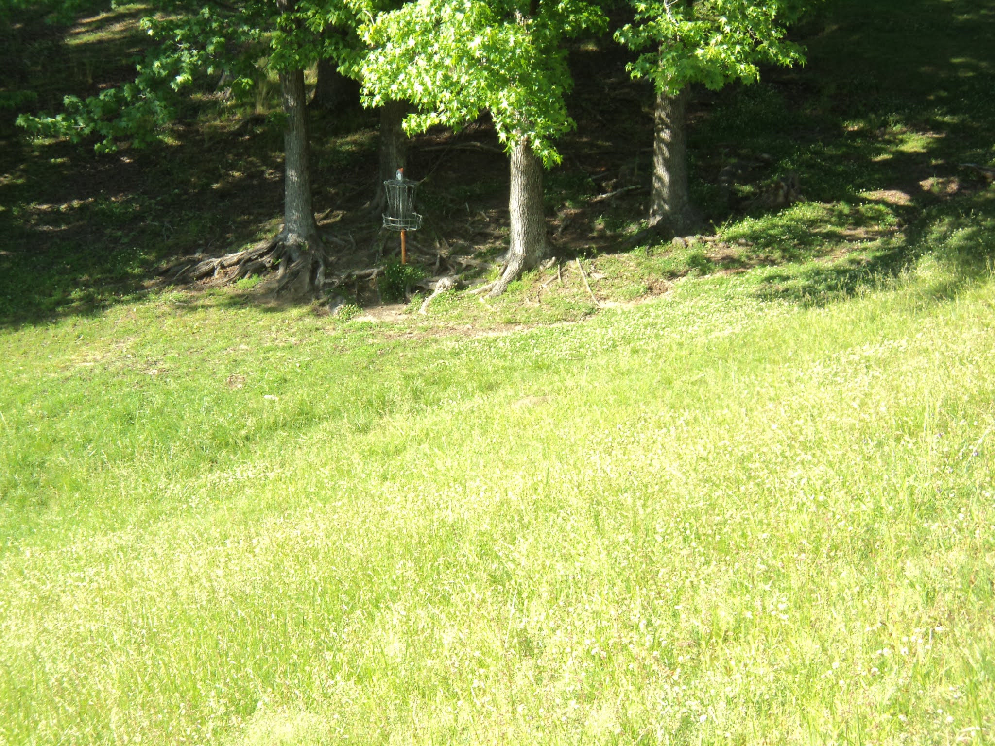

Comments: the finishing hole plays down into a lakeside hollow. The lake off to the left gives this course's only good lake view, but it would take a bad throw to end up in the lake. A cluster of trees guards the basket. This is a nice short finishing hole to a nice short course.
No comments:
Post a Comment